- Indication of the GNSS-coordinates of the search location (Log file – GNSS coordinates)
- New features of the signal table:
- Saving signals separately for each date
- New fields added:
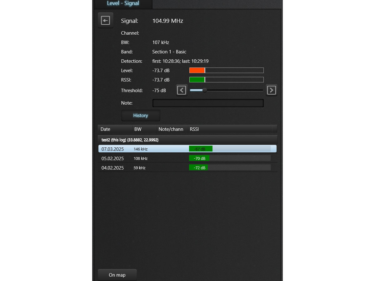
- RSSI level (absolute signal’s level without taking into account masking)
- Accumulated maximum RSSI
- Time of the first detection
- Time of last detection
- Text note (operator’s comment)
- Added recognition of all signals, not just dangerous ones
- Ability to select the signals’ display mode: “Dangerous only” or “All”
- Improved signal recognition algorithm
-
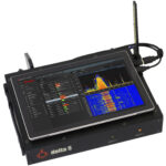
- New functionality in the signal analysis mode:
- RSSI level
- Time of the first and last detection
- Editing a note
- “History” function
- “History” function. Allows you to find a signal in previous search sessions to assess its level of danger:
- Scans the data folder and displays those logs and dates in which a similar signal occurs, as well as the coordinates of these logs and the registered signal’s parameters – band and RSSI level.
- The list can be exported for display on a map (google map)
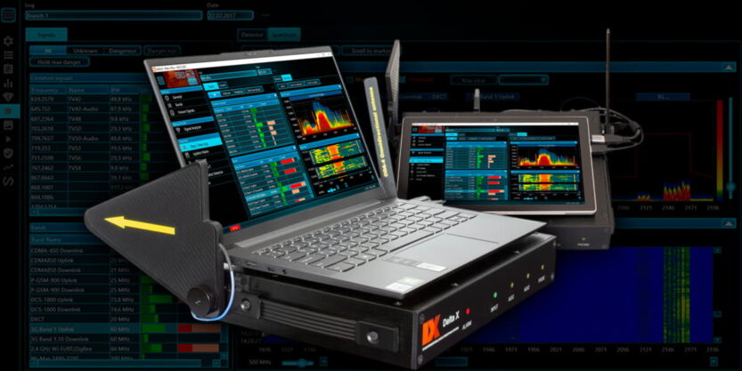
- Improved display of the bargraphs:
- Added a small integration of peak values, which facilitates the localization of short-term pulse signals
- Increased brightness of the display of the accumulated maximum level
- Improved application’s operation with large logs that are formed after searching in 24-hour mode
- The “Log automatically” function ensures automatic activation of log recording when the search mode is activated
- The “Report” feature allows the operator to generate a report in the form of an html/pdf file in order to report to the customer (management) after the search is completed.